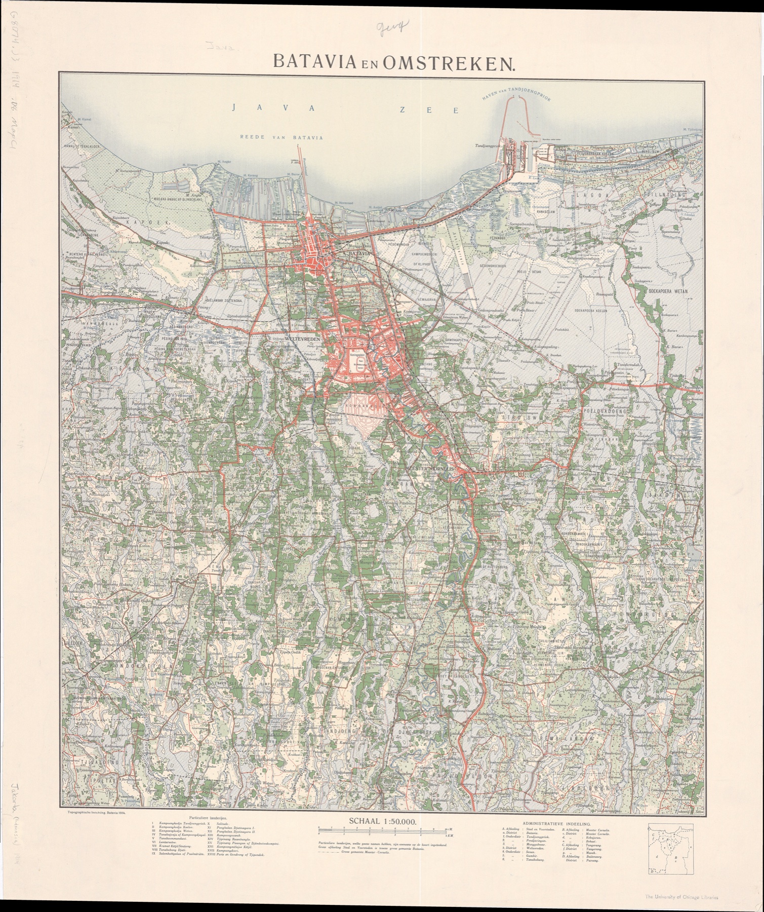
Jakarta (Batavia), 1914
Download: 1914 GeoTIFF
Source: Topografische Inrichting. Batavia en omstreken. 1:50,000. Batavia: Topographische Inrichting, 1914.
Here are some personal projects I have made that may be useful for your research projects.
I georeferenced digitized maps of Jakarta (formerly Batavia) from 1914 and 1959. I manually georeferenced points of interest that still exist today. The 1914 map has no legend, but the Lahat and Malang maps produced by the same mapping agency, Topografische Inrichting, provide useful references. For the 1959 map, I combined the north and south sheets and used their latitude and longitude information for georeferencing.
Download: 1914 GeoTIFF
Source: Topografische Inrichting. Batavia en omstreken. 1:50,000. Batavia: Topographische Inrichting, 1914.
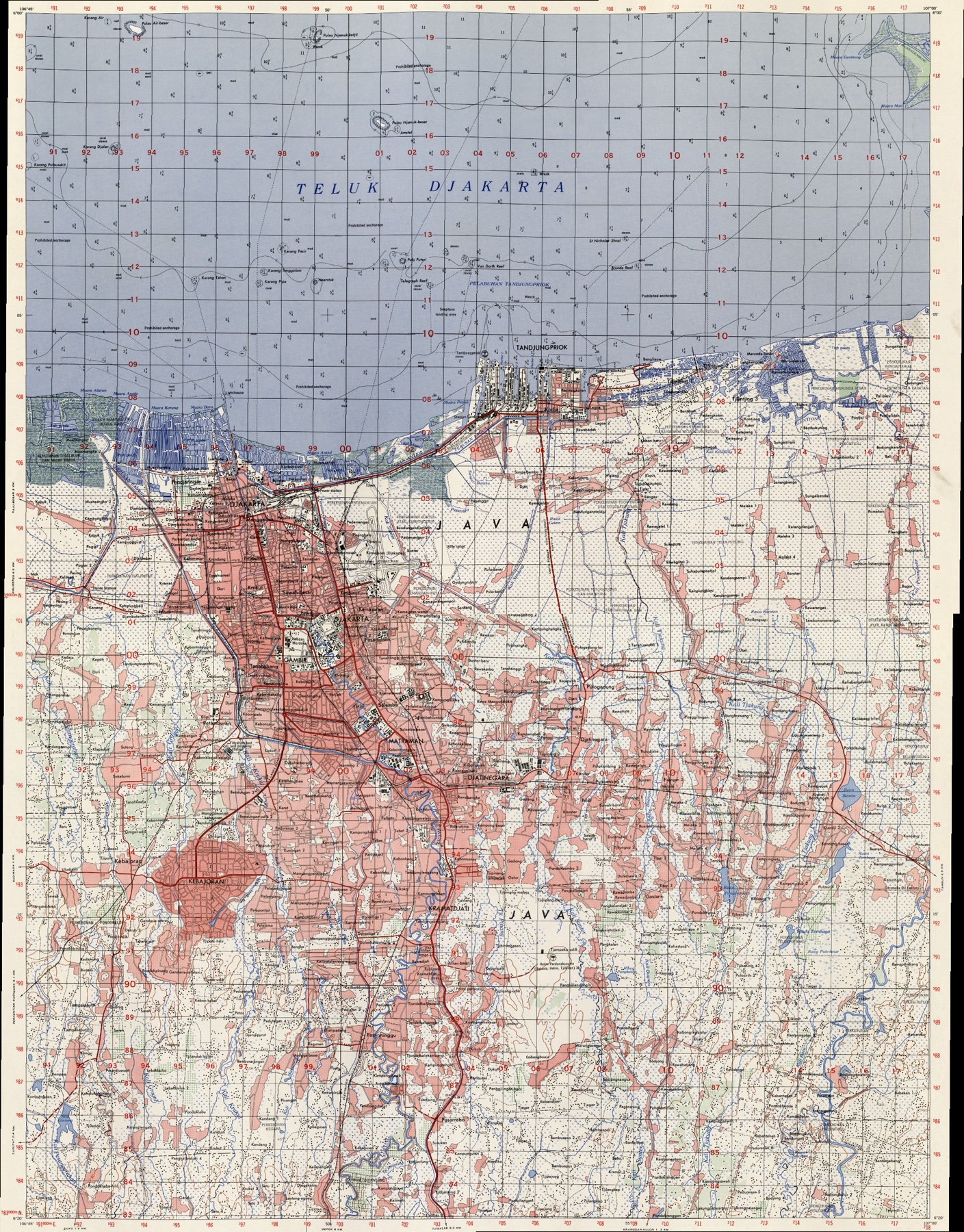
Download: 1959 GeoTIFF